ROUTE 3 WAYPOINT 9
Waypoint 9: Arenas de Utrillas (Route 3 Map)
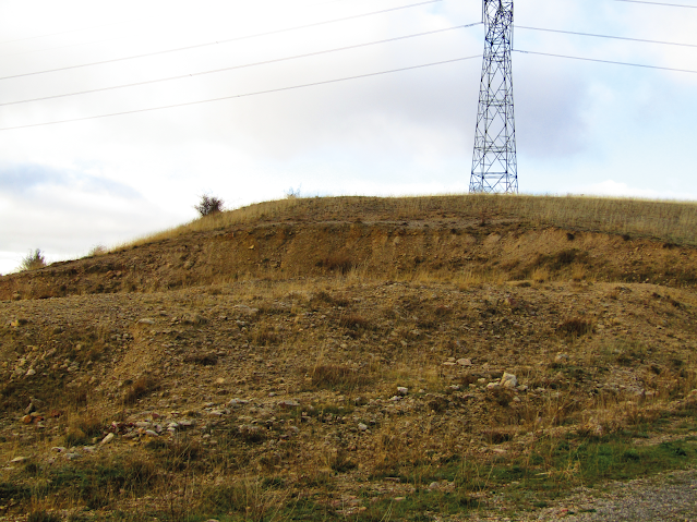
From here onwards, the change is radical. To the west, there is limestone and dolomite, and carbonate soil in general (with the presence of flora typical of carbonate soils, such as juniper and juniper). From this point eastwards, the presence of sands stands out (although it is hardly visible).
The Utrillas sand formation is one of the most recognisable geological units in Spanish geology. It is a unit of non-cemented sands (at least not at all points) of light colours (white, light red, pale green...) of fine grain size (usually no larger than a couple of centimetres in very specific points and above all it is sand size, less than 1 millimetre).
At this point we can see a small ditch or irrigation channel called here, which used to carry the water needed to irrigate the vegetable gardens on the banks of the stream.
These are communicating vessels, to bridge the difference in level caused by the construction of the old road from Sepúlveda to Peñafiel, built at the same time as the so-called Puentón, which we will see later.
It is formed by a closed stone conduit, with a square section, which is buried under the road and rises along the margins of the same, and with the same section, once the difference in level has been overcome, it continues with the watering place made in the natural terrain as a ditch.
The outlets are covered with large stone slabs to prevent people or animals from falling into them.


Comentarios
Publicar un comentario