ROUTE 1 WAYPOINT 1 AND ROUTE 3 WAYPOINT 18
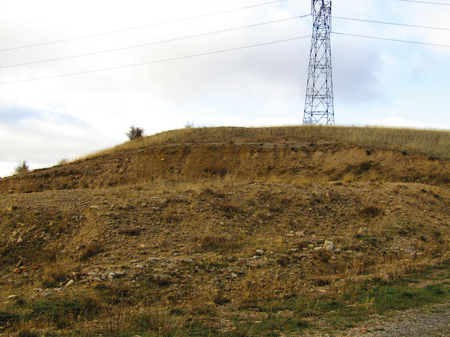
Waypoint 1: The initial loam soils (Map route 1) (Map route 3)
Here you can find the first soft units of the sedimentary sequence that forms DS-2. This unit represents up to the first layers, that highlight the TST tract, in other words, the Transgresive tract, associated to a quick rise in the sea level which produces marine-based rocks from a relatively deep level. The first hard unit that gives a slightly greater protrusion represents the maximum flood surface (MFS). From this level on the rate of increase in the sea level decelerates being compensated with the sedimentary contribution until the high sea level tract (HST) is started.
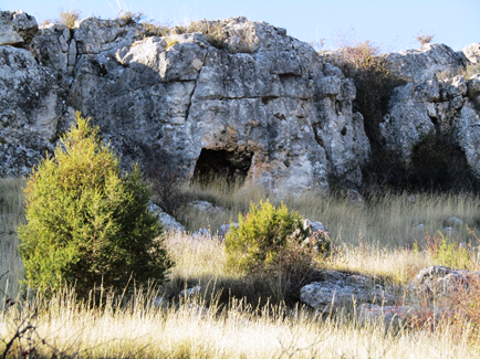
Paleontologically speaking, in this unit, oversize ostreidae stand out, with a lower, very heavy shell that enables them to stabilize in the substrate. After the death of the organism, it is usually colonised by sponges and serpulidae. Furthermore, it is also frequent to find ammonites like Iberian priocycloceras , Tissotia Sp., Celtiberian hemitisotia , Hemitisoi turzoi and Planticeras.
Many of the fossils we find at this point are ferruginized (with a crust of rusty iron) which indicates that it has been exposed coonsiderable time, in other words, with a low sedimentary rate, particularity of deep environments.


Comentarios
Publicar un comentario