ROUTE 1 WAYPOINT 17
Waypoint 17: The upper area Map route 1
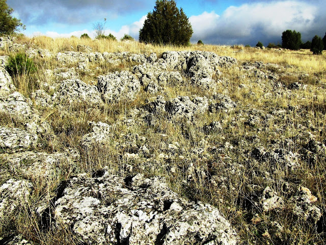
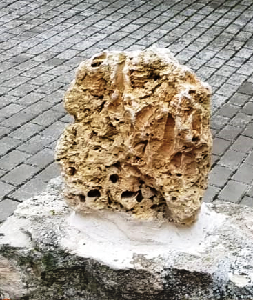
We reach the highest point in the route, at 1090 metres. Here we can appreciate how the rocks flourish nearby. We cannot see any fossils or even structures, we just see the dilution of carbonatic rocks due to waterflow. It is also remarkable the absence of vegetation due to agricultural and cattle farming in this zone.
In the surroundings you can see rock fences that have been built with rocks of the area, this is because traditionally, these fields were cultivated even though they were quite rocky, which implied that first it had to be cleaned and pulled of as the field was ploughed.


Comentarios
Publicar un comentario