ROUTE 1 WAYPOINT 23
Waypoint 23: Quarry with crossed layering Map route 1
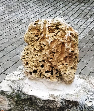
After going through a zone with low outcrops, we find an old quarry where it stands out something that every geologist get impressed with; we find a crossed stratification which is specially marked in the chalky rocks. This is something quite uncommon as carbonatic rocks do not tend to have a good quality for sedimentary structure outcrops. This is due to the extraordinary conservation of the outcrop and because of its composition of small fossil fragments that resembles sandstone.
This chalky rock is part of the first carbonatic bar, the crossed stratification its a reflection of the progress of a submarine bar associated with water currents, so in this case we have the proof that we are in an immersed bar that moves due to different currents.
Photo interpretation: The black lines are different stratigraphical and/or mining surfaces that prevent the observation. Red lines is the crossed stratification.
Image taken by Dubin D.M (1978) Cross-stratification. In: Sedimentology. Encyclopedia of Earth Science. Springer, Berlin, Heidelberg . https://doi.org/10.1007/3-540-31079-7_56; as a block diagram to explain cross stratification.
At this point we can guess different creases of cross stratification, from this we can deduct that currents came from North to South, towards us.
It is remarkable that this quarry has been exploited until relatively few years ago (70's) as we can see from the use drills in the lower part.
From this quarry big boulders have been taken out has the ones used in the winepress, due to its' proximity and the ease to work with this type of rock formation with small fragments of different fossils.


Comentarios
Publicar un comentario